
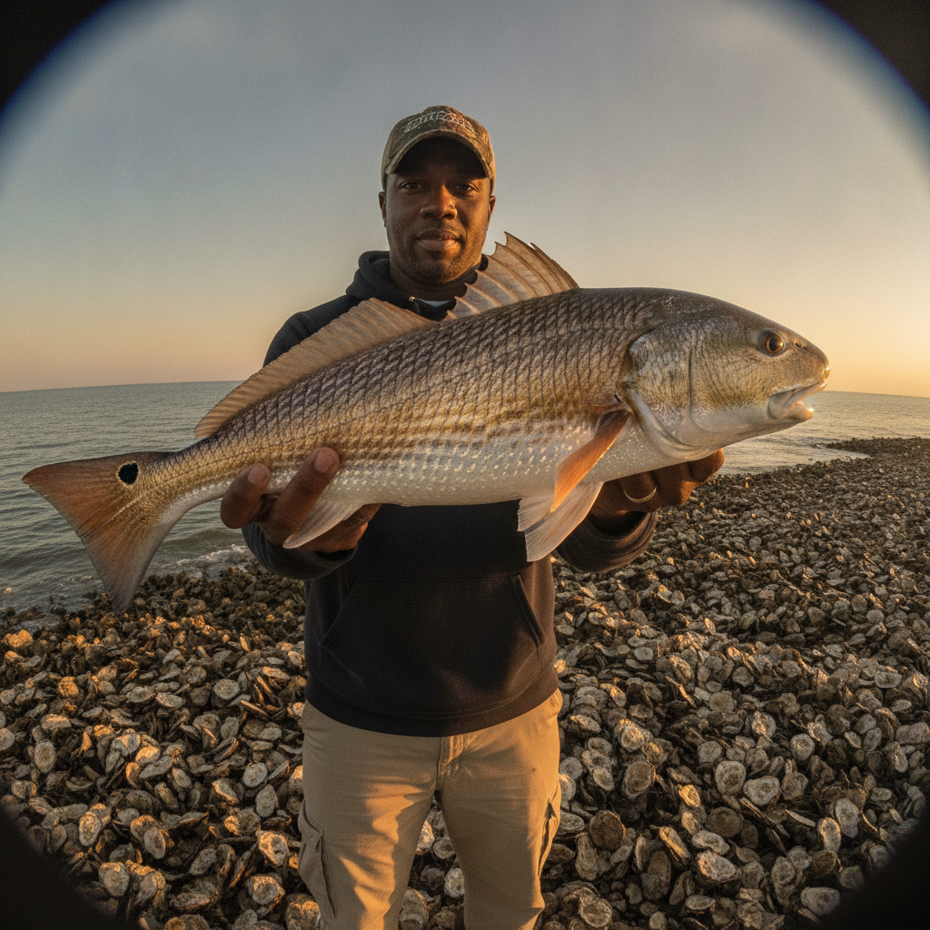
This week on the water around Jacksonville, the summer flood tides are the story. Big afternoon highs are pushing water into the spartina, and the redfish are following it in to feed with their backs out of the water.
What’s Hitting
Redfish are tailing on the flooded grass flats on the bigger afternoon tides, and mangrove snapper have moved onto the rocks at the Mayport jetties in real numbers. Tarpon are shadowing the pogy pods along the beaches, flounder are picking off mud minnows around dock pilings and creek mouths, and a few kings are running the beach just outside the bait.
Where to Find Them
The flood-tide flats up and down the Intracoastal — around Sisters Creek, Clapboard Creek, and the marshes behind Ponte Vedra — are where the tailing happens. Snapper are tight to the jetty rocks on the slower tide phases. Find the pogy pods off the beach anywhere from the jetties south to Jax Beach and the tarpon and kings will not be far.
Tides & Conditions
This week brings solid afternoon flood tides — the kind that put reds in the grass. The river is holding decent clarity for July, and the ocean has been fishable most mornings before the sea breeze stacks it up.
Tackle & Tactics
Flood-tide reds want a weedless gold spoon, a crab-pattern fly, or a soft plastic rigged weedless and dropped a few feet ahead of a tailing fish. Snapper at the jetties eat live shrimp on a light knocker rig. For beach tarpon, an 8/0 circle hook through a live pogy, drifted at the edge of the pod, is the play.
Local Intel This Week
The Mayport boat ramp and Jim King Park at Sisters Creek are the workhorse public ramps for the jetties and north river, with Joe Carlucci and Goodbys Creek covering the Intracoastal and the south river. Fish are concentrating around the jetties, the beach bait pods, and the flooded spartina on the big highs. Check current FWC regulations and seasons before keeping fish — redfish and flounder rules have shifted in recent years.
Spots & Access This Week
Northeast Florida has good public access on both sides of the river. The Sisters Creek Marine Park ramp is the workhorse launch for the jetties and the north marsh, and the Helen Cooper Floyd Park ramp at Mayport puts you closest to the inlet. Goodbys Creek, Mandarin Point and the Arlington ramps serve the upper St. Johns, and the Nassau Sound and Big Talbot access points reach the northern marsh systems. Shore anglers do well from the Huguenot Memorial Park side of the north jetty and from the Jacksonville Beach Pier. The Sisters Creek lot fills early on weekends and the Mayport ramp gets congested with the inlet crowd, so a five-thirty launch is not overkill in the summer.
Fishing the Flood-Tide Marsh
The single most useful skill in Northeast Florida inshore fishing is learning to fish a drain. Every stretch of flooded spartina has one or two low spots where water pours back off the bank as the tide turns, and every crab, shrimp and mud minnow that fed up on the grass has to come out through them. Set up down-current of a drain on the falling tide, let bait wash to you, and keep the boat well off the bank. Redfish stage in those spots on every single tide, which makes them repeatable in a way that a random shoreline never is. Mark the productive drains on your chartplotter and you will have a milk run that works for years.
This Week’s Tip
On the flood tides, arrive before the water does. Stake out a flat you know holds fiddler crabs, wait for the first push of water, and let the reds come to you rather than chasing wakes across the grass.
More Jacksonville Resources
Jacksonville Fishing Guide · Jacksonville Seasonal Calendar · All Jacksonville reports →
Also read: Jacksonville Fishing Report — Week of July 30, 2026: Kings Nearshore, Jetty Redfish
Reports updated every Thursday on fishing.digital.
Planning a trip to Jacksonville?
This report tells you what happened. ReelAI tells you what to do about it — a briefing for your date, your target species and how you're fishing, built from our reports plus live NOAA and USGS data.
Powered by ReelAI — fishing.digital's intelligence layer. Answers are generated from fishing.digital reports and public NOAA, NWS and USGS data, and may be incomplete or out of date. Regulations and marine safety information are summaries only; always confirm with the responsible authority before you fish.