
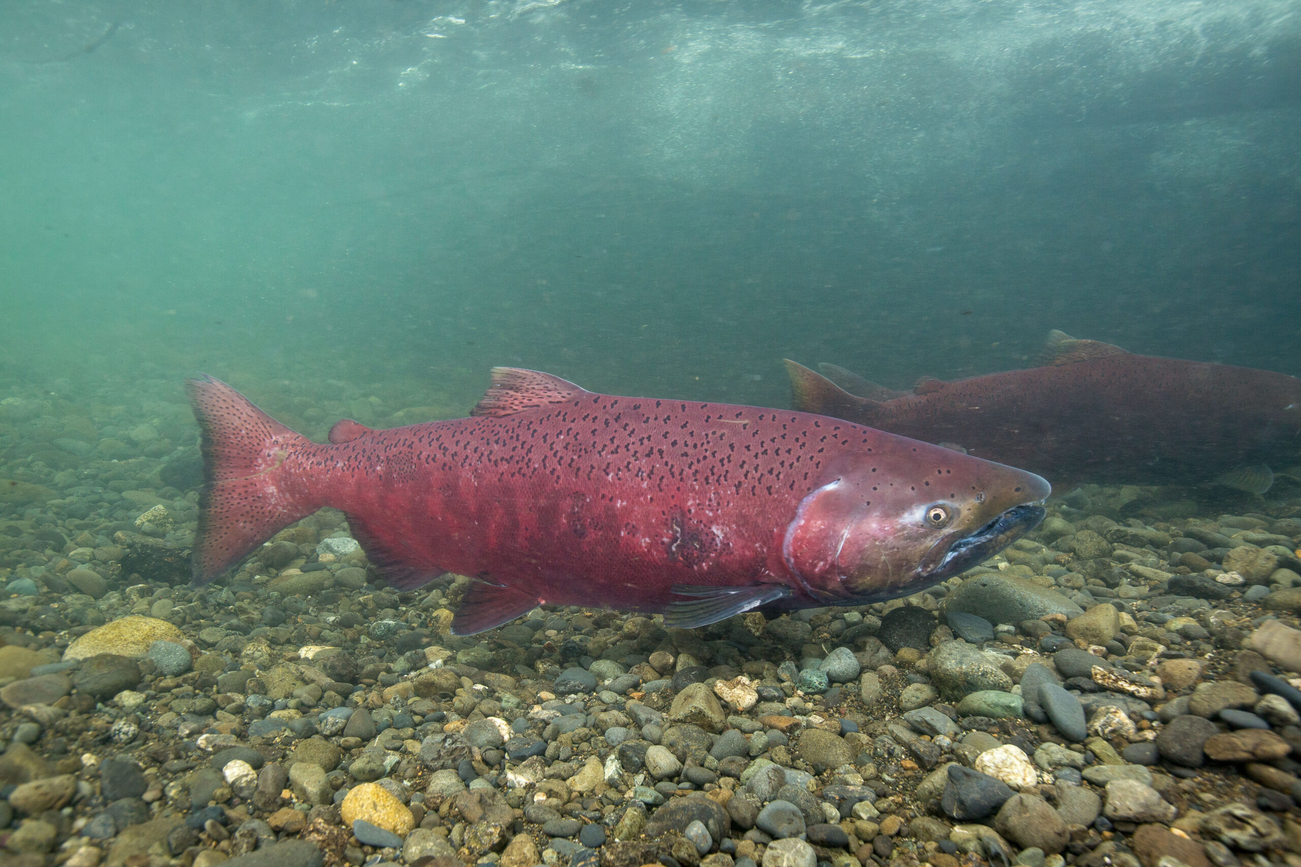
Late August is the biggest week of the year on the lower Columbia. The Buoy 10 fishery is in full swing, with Chinook and coho stacking into the estuary on their way upriver, and the boat traffic to match. Offshore, the albacore have been within reach on the calmer days, which gives anglers a genuine choice of two excellent fisheries.
What’s Hitting
Buoy 10 is the headline. Chinook are moving through the estuary in numbers and coho are building behind them, with the coho share increasing as the month closes out.
Offshore, albacore tuna are the draw for boats willing to make the run when the weather allows. Bottom fishing for lingcod and rockfish is steady along the coast. In Puget Sound, coho and pink salmon are showing on the usual summer grounds, and the coastal rivers are beginning to see their first fall fish stage in the tidewater.
Where to Find Them
The Buoy 10 fishery covers the lower Columbia from the mouth upstream to the Astoria-Megler Bridge area. Fish the channel edges, the Desdemona Sands area and the shipping channel drop-offs, working the tide.
Albacore are offshore, typically 30 to 60 miles out where the blue water sits — check the sea surface temperature charts before committing, since the break moves substantially week to week. Lingcod and rockfish are on the nearshore reefs and rocky structure out of Depoe Bay, Newport and Westport. Puget Sound anglers should work the usual coho areas and the river mouths.
Tides & Conditions
The Columbia estuary runs on tide and it is a serious piece of water — the bar at the mouth is genuinely dangerous and has a well-earned reputation. Check the bar conditions and the Coast Guard restrictions before every trip, not just the weather.
Water is cooling slightly as the season turns, and the first fall rains will pull fish upriver in a rush when they arrive. Offshore conditions have been workable on the light-wind mornings but the northwest afternoon breeze builds reliably. Plan the tuna run around a genuine weather window and turn around early if it deteriorates.
Tackle & Tactics
At Buoy 10, trolling a herring or an anchovy behind a flasher on a downrigger or a diver is the standard, with spinners and Kwikfish also producing. Fish the depth where you are marking, and pay close attention to your trolling speed relative to the tide — you are trolling against or with a lot of moving water.
Albacore come to trolled feathers and cedar plugs at six to eight knots, then to live bait or casting once you raise a school and stop on it. Lingcod and rockfish take heavy jigs and swimbaits worked on the rocky structure. Barbless hooks are required in many of these salmon fisheries — check before you rig.
Local Intel This Week
Access: the Hammond and Warrenton ramps on the Oregon side of the Columbia estuary, the Ilwaco and Chinook ramps on the Washington side, and the East Mooring Basin in Astoria. Coastal ports at Depoe Bay, Newport, Garibaldi and Westport serve the offshore and bottom fisheries.
Fish are concentrating in the estuary channel edges on the tide as the salmon push through. Pacific Northwest salmon fisheries are managed with in-season adjustments, quota-based closures that can end a fishery mid-week, mark-selective rules requiring release of unclipped fish, and barbless hook requirements — check current ODFW and WDFW regulations and any active in-season updates before you launch.
This Week’s Tip
At Buoy 10, match your troll to the tide rather than the speedometer. The productive presentation is about the speed your bait moves through the water, not over the ground, and with three or four knots of current running that is an enormous difference. Watch your bait beside the boat until it has the right roll, then note the ground speed that produced it and hold that number for the rest of the stage.
Planning a trip to Pacific Northwest?
This report tells you what happened. ReelAI tells you what to do about it — a briefing for your date, your target species and how you're fishing, built from our reports plus live NOAA and USGS data.
Powered by ReelAI — fishing.digital's intelligence layer. Answers are generated from fishing.digital reports and public NOAA, NWS and USGS data, and may be incomplete or out of date. Regulations and marine safety information are summaries only; always confirm with the responsible authority before you fish.