
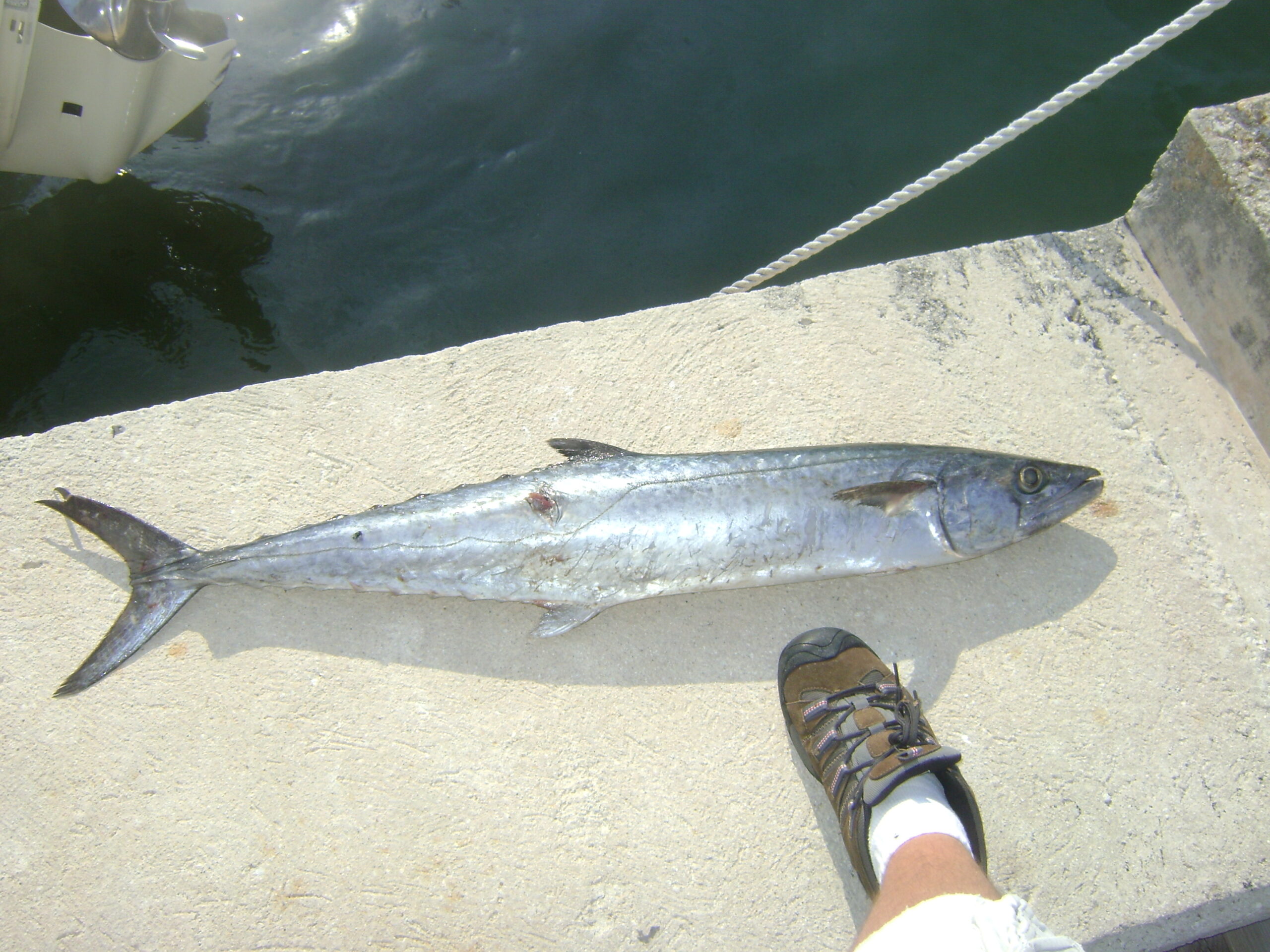
Northeast Florida is into its summer rhythm. King mackerel have moved onto the nearshore reefs and wrecks, redfish are working the marsh on the flood tides, and the river and inlet are holding plenty of action for inshore anglers.
What’s Hitting
Kingfish are the offshore draw, prowling the nearshore reefs and the area around the jetties. Redfish are tailing the marsh grass on the higher tides, and trout are holding on the creek mouths and oyster bars. Mangrove snapper and flounder round out the inshore mix around the inlet structure.
Where to Find Them
Find kings on the nearshore reefs and wrecks in 40 to 70 feet, and around the St. Johns jetties when the bait is thick. Reds work the Nassau and St. Johns marsh on flood tides, and trout hold on the creek mouths and bars throughout the lower river. The downtown river docks and the Intracoastal creek mouths hold flounder and trout for anglers staying inside when the ocean is rough.
Tides & Conditions
Summer water is warm and often a little stained after storms. The flood tides are prime for marsh reds, and early morning is best before the afternoon heat and thunderstorms. Nearshore seas have been fishable in the morning calm — watch the afternoon sea breeze.
Tackle & Tactics
Slow-troll live menhaden or ribbonfish for kings, with a stinger rig to catch short strikers. For reds, throw a gold spoon or cut bait to tailing fish on the flood. Trout want a popping cork and live shrimp or a soft plastic on the bars. Wire leaders and stinger rigs are a must for kings to avoid bite-offs; inshore, a 3000- to 4000-class spinner with 15- to 20-pound braid handles reds and trout.
Local Intel This Week
Launch from the Sisters Creek (Helen Cooper Floyd) ramp or Mayport for fast inlet and nearshore access; the Goodbys Creek ramp serves the lower river. Reds are concentrating on the flooded marsh and kings on the nearshore reefs. Check current FWC regulations and seasons before keeping any fish. The Jacksonville Beach and Saint Augustine piers give shore anglers a shot at whiting, pompano, and passing Spanish mackerel.
Spots & Access This Week
For the nearshore kings, the Mayport ramp at Wonderwood Drive and the Joe Carlucci Sisters Creek ramp put you minutes from the St. Johns River jetties and the bait pods off Jacksonville Beach and Little Talbot Island. The artificial reefs a few miles off Mayport are worth a look when the pods are thin along the beach. For creek trout, launch at the Pablo Creek or Sisters Creek ramps and work the grass edges and creek mouths off the Intracoastal. Huguenot Memorial Park and the Jacksonville Beach Pier give shore anglers a shot at Spanish mackerel and the occasional king in the early morning.
Fine-Tuning the Approach
Summer kings follow the menhaden, so find the bait first and fish the edges of the pods rather than the middle. Slow-troll a live pogy on a light-wire stinger rig just off the pod and let the fish come to you. In the creeks, the trout bite fades once the sun is high, so be on the grass edges at first light with a topwater or a live shrimp under a popping cork, and switch to a soft plastic worked along the deeper creek bends as the heat builds. Keep an eye on the afternoon thunderstorms and plan to be off the water before they roll in.
This Week’s Tip
When you find tailing reds on the flood, kill the trolling motor and make a long, soft cast well ahead of the fish. Reds in shallow grass spook off a close splashdown — get in front of them and let them find the bait.
More Jacksonville Resources
Jacksonville Fishing Guide · Jacksonville Seasonal Calendar · All Jacksonville reports →
Also read: Jacksonville Fishing Report — Week of July 30, 2026: Kings Nearshore, Jetty Redfish
Reports updated every Thursday on fishing.digital.
Planning a trip to Jacksonville?
This report tells you what happened. ReelAI tells you what to do about it — a briefing for your date, your target species and how you're fishing, built from our reports plus live NOAA and USGS data.
Powered by ReelAI — fishing.digital's intelligence layer. Answers are generated from fishing.digital reports and public NOAA, NWS and USGS data, and may be incomplete or out of date. Regulations and marine safety information are summaries only; always confirm with the responsible authority before you fish.