
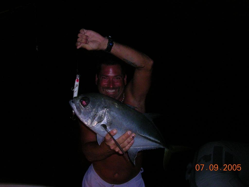
Montauk in late July belongs to the rips. The Point’s white water is holding stripers for the boats working the tides, the south side is producing the best fluke grade of the season, and the first bonito rumors are starting to circulate among the light-tackle crowd — right on schedule.
What’s Hitting
This week, stripers in the slot class and better are stacked in the Elbow, Pollock Rip, and the Porgy Hump water on the moving tide, with fish coming on the troll, the jig, and live eels after dark from the surfcasting regulars under the Light. Fluke to double-digit weights are on the south-side sand in 50 to 70 feet, sea bass and porgies are carpeting Cartwright and the rocky bottom east of the Point, and a few bonito have reportedly shown in the rips — the vanguard of the funny-fish season.
Where to Find Them
Bass: the rips on the flood at first light, and the north-side rocks for the surf crowd on the night tides. Fluke: the clean sand south and west of the Point, drifting with the tide. Porgies: Cartwright and the Elbow’s edges, anywhere with hard bottom.
Tides & Conditions
Tides build to the full moon on the 29th — the rips will be at their most defined, which concentrates the bass but demands attentive boat handling in the standing waves. Water clarity has been good and the sand eel presence keeps improving.
Tackle & Tactics
In the rips: parachute jigs on wire, or diamond jigs touched to bottom and cranked ten turns. Surf fish want darter-style plugs and eels in the white water after dark. Fluke: bucktail-and-teaser rigs with squid strips or Gulp, 4 to 8 ounces depending on the drift.
Local Intel This Week
The East Lake Drive ramp at the harbor serves trailer boats; shore anglers are working the Camp Hero and Turtle Cove rocks under the Lighthouse — cleats and a surf belt are standard equipment on those rocks, not suggestions. Fish are concentrating in the rips and on the south-side sand. Check current NY DEC regulations before keeping fish, and mind the striper slot limit.
Spots & Access This Week
Montauk Harbor and the Star Island ramp handle the boat traffic, and both are crowded from first light through midmorning on a summer weekend. Surfcasters have the Point at Camp Hero, the North Bar and the rocks toward Shagwong — all best on the tide change at dawn or dusk. Party and charter boats out of Montauk Harbor cover the fluke and porgy grounds for anglers without a boat. Fish are concentrating in the rips and on the north-side structure rather than spread over the open sound. Striped bass, fluke and sea bass all carry size and season restrictions — check current New York DEC regulations before keeping fish.
Fishing the Rips Safely and Well
The rips reward line control more than casting distance. Get up-current of the break, drop back into the trough behind the standing wave, and keep the jig in contact with the bottom as the boat swings. Diamond jigs and heavy bucktails in the 3- to 6-ounce range cover most conditions; live eels drifted after dark are the reliable way to find bigger fish. Watch the wind against the tide — a moderate southwest breeze standing up a running rip turns comfortable water dangerous in minutes, and the safest plan is to fish the early tide and be inside before the afternoon breeze fills in.
This Week’s Tip
Working the rips, the bass sit on the up-tide edge of the white water, not in the chaos itself. Set your drift to present the jig along that front edge and you’ll hook fish while the boats plowing through the middle wash their gear.
More Montauk Resources
Montauk Fishing Guide · Montauk Seasonal Calendar · All Montauk reports →
Also read: Montauk Fishing Report — Week of July 30, 2026: Doormat Fluke, Bass in the Rips
Reports updated every Thursday on fishing.digital.
Planning a trip to Montauk?
This report tells you what happened. ReelAI tells you what to do about it — a briefing for your date, your target species and how you're fishing, built from our reports plus live NOAA and USGS data.
Powered by ReelAI — fishing.digital's intelligence layer. Answers are generated from fishing.digital reports and public NOAA, NWS and USGS data, and may be incomplete or out of date. Regulations and marine safety information are summaries only; always confirm with the responsible authority before you fish.