
Late August in the Keys is a hot, still, slightly lazy stretch — and that is exactly why it fishes well for anglers willing to work early and late. Light winds have kept the wrecks and the reef line accessible most days, the water is gin clear on the oceanside, and the bottom fishing has been the most dependable game on the board.
What’s Hitting
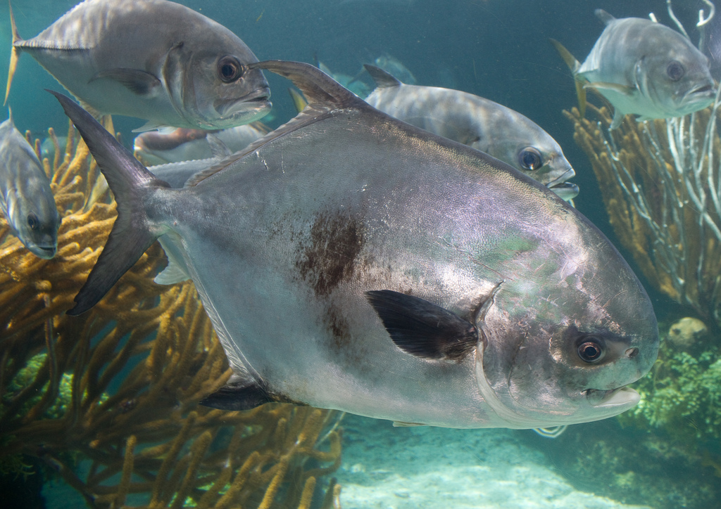
Permit are the marquee draw right now, holding over the wrecks in 60 to 120 feet and eating crabs on a slow drop. Mutton snapper are on the deeper reef edges and the humps, with the best fish coming at first light and on the moon.
Yellowtail snapper are the bread and butter — steady numbers behind a chum slick on the patch reefs and along the reef line. Mangrove snapper are stacked on the bridges and the channel edges after dark. Offshore, scattered mahi are on the weedlines in 400 to 800 feet, blackfin tuna are on the humps, and there are enough sailfish around to keep a bait in the spread worthwhile.
Where to Find Them
Oceanside wrecks off Marathon and Islamorada in the 60 to 120 foot range are the permit and cobia zone. The patch reefs in 20 to 40 feet are where the yellowtail live — anchor uptide, set a slick, and let it work.
Mutton snapper are on the deeper reef edges and the outside humps in 80 to 150 feet. The bridges — Seven Mile, Bahia Honda, Channel Two and Channel Five — hold mangrove snapper and tarpon on the moving tide. On the Gulf side, the backcountry basins and channels are producing trout, small sharks and the occasional redfish on the cooler mornings.
Tides & Conditions
Water temps are running in the upper 80s on the flats and low to mid 80s on the reef. Wind has been light and variable, with sea breezes filling in by mid-morning and thunderstorms building over the mainland in the afternoon.
Tidal flow is the whole ballgame on the bridges and the patches. Fish the strongest push of the tide and be off the water or under cover when the afternoon cells roll through. Visibility on the oceanside has been excellent, which means longer leaders and quieter approaches on the shallower spots.
Tackle & Tactics
For wreck permit, a 20- to 30-pound spinning outfit, a 30- to 40-pound fluorocarbon leader and a live crab on a 3/0 circle hook. Position the boat so the crab falls naturally down the up-current face of the wreck; permit will often eat within the first ten feet of the drop.
Yellowtail want light line — 15- to 20-pound braid, 15-pound fluoro, a small hook and a chunk of ballyhoo or shrimp drifted back unweighted in the chum. Mutton snapper take a whole ballyhoo or a live pinfish fished on the bottom with a long fluorocarbon leader. Bring plenty of chum and be patient with the slick; the tail bite builds over an hour, not a minute.
Local Intel This Week
Ramps and access: Founders Park in Islamorada, the Marathon city ramp at 33rd Street, Sunshine Key and Big Pine, and Murray E. Nelson Government Center in Key Largo for the upper Keys. Bahia Honda State Park gives shore anglers access to the old bridge and the channel.
Fish are concentrating on the deeper wrecks and the outside reef edges as the water warms, with the shallow patches best in the first two hours of light. Much of this water sits inside the Florida Keys National Marine Sanctuary, and snapper, grouper and permit all carry seasonal and area-specific rules — check current FWC and sanctuary regulations before keeping fish.
This Week’s Tip
When a permit refuses your crab on the wreck, do not change the crab — change the drift. Nine times out of ten the fish saw the leader swing unnaturally in the current. Reset the boat so the bait falls straight down the face of the structure with no belly in the line, and that same fish will often eat on the very next drop.
Planning a trip to Florida Keys?
This report tells you what happened. ReelAI tells you what to do about it — a briefing for your date, your target species and how you're fishing, built from our reports plus live NOAA and USGS data.
Powered by ReelAI — fishing.digital's intelligence layer. Answers are generated from fishing.digital reports and public NOAA, NWS and USGS data, and may be incomplete or out of date. Regulations and marine safety information are summaries only; always confirm with the responsible authority before you fish.