
Updated: Thursday, November 5, 2026 · Next update: Thursday, November 12, 2026
This Montauk fishing report is a seasonal outlook for the week of November 5, reflecting how early November usually goes at the end of Long Island. The big fall run is often past its peak by now, but the Point can still deliver when a strong wind change moves bait. The November 9 new moon and the end of daylight saving add timing wrinkles.
What’s Hitting
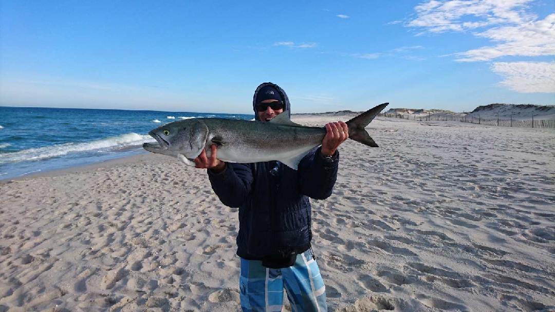
Black sea bass and scup are generally the most dependable targets around rocky bottom and wrecks, particularly for boats that can reach deeper structure off the Point. Striped bass may still pass through in smaller waves, especially after a northwest blow when bait is pushed along the beach, though not every day will be productive. False albacore sometimes linger into early November when warm water holds, but they tend to be sporadic and wind dependent. Tautog continue to hold near rocks and jetties until the water cools more. Bluefish can appear in scattered pockets. Expect the best action around changing weather rather than during long stable stretches.
Where to Find Them
Montauk Point and the rips around Shagwong Reef are the classic spots for striped bass and bluefish when bait is present. Rocky shoreline near Camp Hero State Park and the Ditch Plains area give surf casters options, while Block Island Sound drop-offs and the Frisbee Rock area offer bottom fishing structure. Boats may also work the offshore wrecks south of the Point for sea bass and scup. Fort Pond Bay offers some protected water when the Atlantic side is too rough, making it a useful fallback on windy days. Local shops can point out which rocks are safe at a given swell height.
Tides & Conditions
The strong current around Montauk Point is the defining feature, and larger tides near the new moon on November 9 should intensify the rip. Many anglers prefer the changing tide, especially an outgoing tide on the south side, when bait is swept past. Slack water is often best for bottom fishing with lighter weights. Because sunset arrives earlier since the clocks changed, the dusk window now begins before many people leave work, so planning an after-sunrise or late-afternoon session may produce better odds. Check wave height before committing to the rocks.
Tackle & Tactics
For black sea bass and scup, use a medium-heavy conventional rod, braided line and a two-hook bottom rig with clams, squid strips or small jigs. Tautog call for sturdy rods, sharp hooks and crab baits. For striped bass and bluefish in the surf, a nine to ten foot spinning rod with plugs, bucktails or soft-plastic shads is a standard choice. If albacore appear, small metal jigs and epoxy minnows cast to busting fish are the usual answer. Heavy boots with felt or cleats help on wet rocks, and a headlamp and life vest are essential on the jetties.
Local Intel This Week
Public fishing spots include Montauk Point State Park, where shoreline access lets anglers cast toward the lighthouse rocks, and Camp Hero State Park, which has bluff access and rocky shoreline. The Montauk Harbor docks and Gosman’s area serve charter and party boat anglers, and the Montauk Inlet area is popular with small boats. Check current state and federal regulations and seasons before keeping fish. Because rocks and surf can be dangerous, avoid fishing alone at night and respect posted warnings along the bluffs. Parking near the Point fills on nice weekends, so arriving early pays off, and local tackle shops can share which beaches are open to vehicles or restricted by the season.
This Week’s Tip
Watch for a day after a northwest wind has subsided and the swell has laid down. Arrive well before first light, scout the beach edge for birds and bait, and cast swimming plugs along the white-water edge instead of straight out.
Planning a trip to Montauk?
This report tells you what happened. ReelAI tells you what to do about it — a briefing for your date, your target species and how you're fishing, built from our reports plus live NOAA and USGS data.
Powered by ReelAI — fishing.digital's intelligence layer. Answers are generated from fishing.digital reports and public NOAA, NWS and USGS data, and may be incomplete or out of date. Regulations and marine safety information are summaries only; always confirm with the responsible authority before you fish.