
This week on Cape Cod, the Canal is doing its July thing — big fish moving through on the breaking tides, mackerel showing on the east end, and a jetty crowd that knows exactly what time to set the alarm.
What’s Hitting
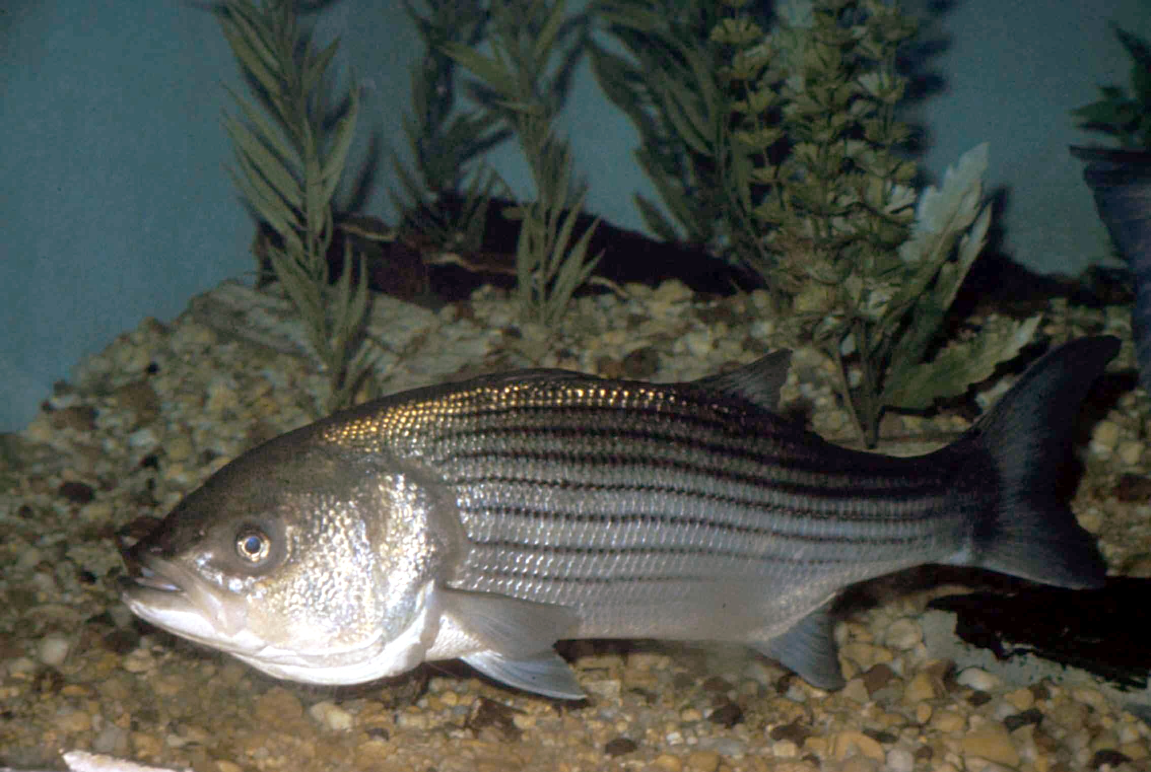
Striped bass are the story in the Canal, with slot fish and better crashing bait on the early-morning breaking tides. Fluke are on the shoals off Monomoy and in Nantucket Sound in good numbers, black sea bass are everywhere on the Sound structure, and bluefish are working the rips off the south side. Outside, the first bluefin of high summer are showing east of Chatham.
Where to Find Them
In the Canal, the east end has been best when the mackerel push in — follow the bait and the breaking fish. Fluke want the sandy edges of the shoals in 20 to 50 feet with a moving drift. The Sound rips from Succonnesset to Handkerchief are holding blues and bass on the dropping tide.
Tides & Conditions
The breaking-tide windows at the Canal fall in the pre-dawn and early morning this week — prime time for the land-based crowd. Water temperatures in the Sound are climbing, pushing the bigger bass toward the cooler east-side rips and deeper water.
Tackle & Tactics
Canal regulars are throwing magic swimmers, paddletail jigs, and pencil poppers when fish show on top. Fluke want a bucktail-and-Gulp combo bounced with the drift, teaser above. In the rips, a parachute jig on wire or a trolled tube-and-worm finds the bass holding below the blues.
Local Intel This Week
Sandwich Marina at the east end of the Canal is the workhorse launch, with Blish Point in Barnstable covering the bay side and the Bass River ramp serving the Sound. Fish are concentrating in the Canal on the breaking tides and along the south-side rips. Striped bass slot limits and circle-hook rules are strict — check current Massachusetts DMF regulations before keeping fish.
Spots & Access This Week
Shore access along the Cape Cod Canal is as good as it gets anywhere in the Northeast. The Herring Run Recreation Area on the mainland side has the largest lot and puts you within a short walk of the west-end structure. Scusset Beach State Reservation parking gives access to the east end and the jetty, and the Bourne Scenic Park side lets you work the middle stretch of the service road on a bike. For boats, the Sandwich Marina ramp is the practical east-end launch, the Taylor Point ramp at Buzzards Bay handles the west end, and the Sesuit Harbor ramp in Dennis is the best jumping-off point for the Cape Cod Bay shoals and the fluke bottom. Weekend parking at every one of these fills by daybreak in July, so plan to be early or plan to walk.
Reading the Canal This Week
The Canal is not one fishery, it is three, and which one you are fishing depends entirely on where the current is breaking. On a strong east tide, the west end turns on first and the fish work their way through. On the west tide, the east end and the Mashnee stretch produce. The middle of the ditch fishes best in the last hour of either flow, when the current slows enough that bass move up out of the deep channel and onto the shelf. Watch for mackerel or herring flipping against the current — that is the whole tell. Bass in the Canal do not chase in fast water; they hold in the boulder pockets and let the tide deliver. Put a three-ounce jig up-current, let it tumble into the pocket, and hold on.
This Week’s Tip
At the Canal, the tide chart matters more than the alarm clock. Fish the east-flowing current that starts about two hours before local low — when the mackerel funnel through against that flow, the big bass eat with the sun still below the trees.
More Cape Cod Resources
Cape Cod Fishing Guide · Cape Cod Seasonal Calendar · All Cape Cod reports →
Also read: Cape Cod Fishing Report — Week of July 30, 2026: Canal Stripers, Fluke on the Bars
Reports updated every Thursday on fishing.digital.
Planning a trip to Cape Cod?
This report tells you what happened. ReelAI tells you what to do about it — a briefing for your date, your target species and how you're fishing, built from our reports plus live NOAA and USGS data.
Powered by ReelAI — fishing.digital's intelligence layer. Answers are generated from fishing.digital reports and public NOAA, NWS and USGS data, and may be incomplete or out of date. Regulations and marine safety information are summaries only; always confirm with the responsible authority before you fish.