
Updated: Thursday, November 5, 2026 · Next update: Thursday, November 12, 2026
This Pensacola fishing report is a seasonal outlook for early November, relying on established fall patterns instead of recent catches. Cooling water, passing fronts, and the new moon on Monday, November 9 should keep fish moving between Pensacola Bay, the Gulf beaches, and the nearshore reefs. Use it to plan gear and timing, then check with a local bait shop for current conditions before you head out.
What’s Hitting
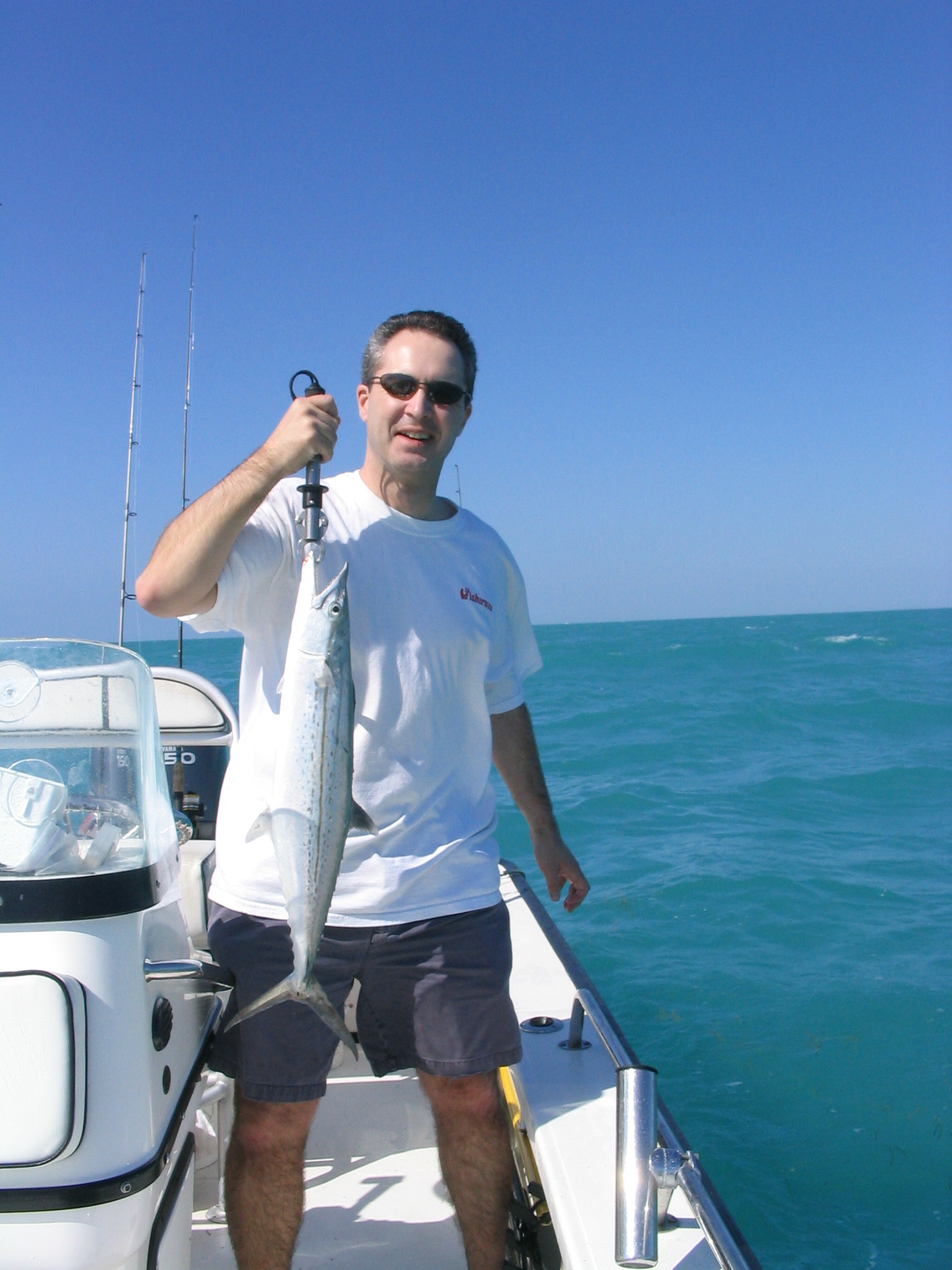
Early November in Pensacola often brings a handoff from summer fish to the cool-season group. Bull redfish typically gather around Pensacola Pass and along the beaches, while speckled trout and slot reds move into the bays and bayous. Flounder may still funnel toward the pass on their fall migration, though the best part of that run often fades by mid-month. Whiting and pompano can appear in the surf on calm days. Offshore, king mackerel sometimes linger along the nearshore reefs before heading south, and sheepshead start gathering on bridge and pier pilings. Front timing and wind direction commonly determine whether the surf is fishable.
Where to Find Them
Pensacola Pass, with the jetties on the Fort Pickens side and the Perdido Key side, is a top fall destination for bull reds and migrating fish. The Pensacola Bay Bridge and the Three Mile Bridge pilings hold sheepshead and trout. East Bay and Escambia Bay shorelines and grass flats provide protected fishing in many winds. Nearshore, the artificial reefs and the Pensacola Beach Pier area can hold king mackerel and Spanish when water stays mild. Santa Rosa Sound and the Navarre Beach fishing pier to the east also provide more sheltered water when winds are up.
Tides & Conditions
Gulf of Mexico tides along the Panhandle are often small and diurnal, so wind frequently matters as much as the tide table. The new moon on Monday, November 9 should still strengthen current through the pass and under the bridges. Fishing the first part of an outgoing tide at the jetties is a long-standing local approach. After a strong front, northern winds can push water out of the bays and cloud the surf, so give things a day to settle.
Tackle & Tactics
For bull reds at the pass, a heavy spinning or conventional outfit with forty-pound braid and a stout fluorocarbon leader pairs well with cut mullet, whole cigar minnows, or large soft plastics. Whiting and pompano gear is light, using small hooks, fresh shrimp or sand fleas, and a pompano rig. Trout and slot reds respond to quarter-ounce jigs, soft plastics, and live shrimp under a cork. Sheepshead anglers rely on fiddler crabs or shrimp. A surf cart, sand spike, and a headlamp make nights easier. Spare leaders and extra terminal tackle prevent a lost rig from ending the day.
Local Intel This Week
Pensacola has excellent public access. Fort Pickens, within Gulf Islands National Seashore, and Pensacola Beach Gulf Fishing Pier are popular for surf and pier fishing, while Perdido Key State Park and the Johnson Beach area offer additional sandy access. For bay anglers, Bayou Texar’s public ramp and Bayview Park provide launch and shore options. Parking fills on nice weekends, so arrive early. Check current state and federal regulations and seasons before keeping fish. Navarre Beach Fishing Pier and Bob Sikes Cut are further well-known options, and both can get busy on weekends. Pay attention to surf conditions and rip currents in the Gulf, especially near the pass, where current is strong.
This Week’s Tip
Visit the Fort Pickens jetty at first light on a falling tide, fish a cut mullet on a fish-finder rig along the rocks, and keep a second rod ready with a soft plastic for trout and flounder. Bring a cast net and catch a few mullet or pinfish for bait before you start, and check the day’s wind direction to choose between the pass and the bay.
Planning a trip to Pensacola?
This report tells you what happened. ReelAI tells you what to do about it — a briefing for your date, your target species and how you're fishing, built from our reports plus live NOAA and USGS data.
Powered by ReelAI — fishing.digital's intelligence layer. Answers are generated from fishing.digital reports and public NOAA, NWS and USGS data, and may be incomplete or out of date. Regulations and marine safety information are summaries only; always confirm with the responsible authority before you fish.