Updated: Thursday, November 19, 2026 · Next update: Thursday, November 26, 2026
This South Padre Island fishing report is a seasonal outlook for the week of November 19, built from seasonal patterns and the regional forecast rather than verified dock counts. Temperatures are rebounding after last weekend’s front, and national forecasters expect a storm system to shift south toward Texas and the Gulf Coast around Thanksgiving. On the Lower Laguna Madre, the dominant pattern is fish sliding between deep potholes and channel edges as wind direction and water temperature swing.
What’s Hitting
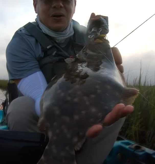
Black drum are the most reliable target this week, feeding on crabs and shrimp around the jetty rocks and the Queen Isabella Causeway pilings. Speckled trout are settling into sand potholes and along the drop-offs of the Intracoastal Waterway, moving up onto grass edges on warm afternoons. Redfish roam the flats and spoil islands, often in small groups when the sun warms the shallows. The tail end of the fall flounder run continues through the channels toward Brazos Santiago Pass, but Texas has seasonal limits on late-fall flounder harvest. Sheepshead are building on the rocks.
Where to Find Them
Brazos Santiago Pass and the South Padre Island jetties hold drum, sheepshead and migrating flounder, especially on outgoing water. The Queen Isabella Causeway pilings offer structure for drum and sheepshead within easy reach of shore. On the Lower Laguna Madre, sand potholes in the grass near the spoil islands and along the Intracoastal Waterway edges hold trout and reds. Inside the bay, the shorelines near Port Isabel and the flats along the island side are good options when wind allows.
Tides & Conditions
Tidal range here is small, but the moon builds from first quarter on November 17 to full on November 24, adding a little extra flow through the pass by the weekend. Wind remains the major factor: a south or southeast breeze pushes water onto the flats and warms them, while a north wind after a front can drop levels and send fish into potholes and channels. Clarity usually improves behind fronts, which helps sight-casting. Check the forecast for the Thanksgiving system before planning offshore or surf trips.
Tackle & Tactics
At the jetties, a fish-finder or Carolina rig with fresh shrimp or crab on a 2/0 to 3/0 circle hook handles drum and sheepshead. For pothole trout, a soft plastic on a light jighead, dragged slowly into the sand holes, is effective. For flats reds, a weedless gold spoon or a scented soft plastic on a light weedless hook lets you work the grass without hanging up. A 7-foot medium-light spinning rod with 10- to 15-pound braid covers most bay fishing.
Local Intel This Week
Isla Blanca Park gives access to the jetties and the pass, and the fishing areas near the Queen Isabella Causeway let shore anglers reach structure without a boat. Public ramps in Port Isabel provide quick access to the Lower Laguna Madre. Andy Bowie Park offers beach access north of town. Our guide to big reds and flounder covers bay strategy. Check current state and federal regulations and seasons before keeping fish.
This Week’s Tip
Use the wind to pick your water. On calm, sunny mornings, sight-cast the shallow flats for reds; on breezy or post-front days, work potholes and channel edges for trout, where fish hold tight and visibility matters less.
Planning a trip to South Padre Island?
This report tells you what happened. ReelAI tells you what to do about it — a briefing for your date, your target species and how you're fishing, built from our reports plus live NOAA and USGS data.
Powered by ReelAI — fishing.digital's intelligence layer. Answers are generated from fishing.digital reports and public NOAA, NWS and USGS data, and may be incomplete or out of date. Regulations and marine safety information are summaries only; always confirm with the responsible authority before you fish.